How to extract pile coordinate list in batch?
When constructing foundations, whether for permanent or temporary structures, that involve piling work (e.g. bore piles, micro piles, spun piles or stone piles), the accuracy of pile coordinates is critical. Before piling can commence, the quality engineer and surveyor must verify the positioning of each pile to ensure alignment with the approved design.
To support this verification, a coordinate list must be extracted from the approved piling drawings and shared with all relevant stakeholders, particularly the surveyor and contractor. This step is essential to prevent construction errors and costly rework. A single misplaced pile, especially one that falls outside the designated foundation boundary, can prompt the design engineer to instruct the contractor to add one or more additional piles, increasing time and cost.
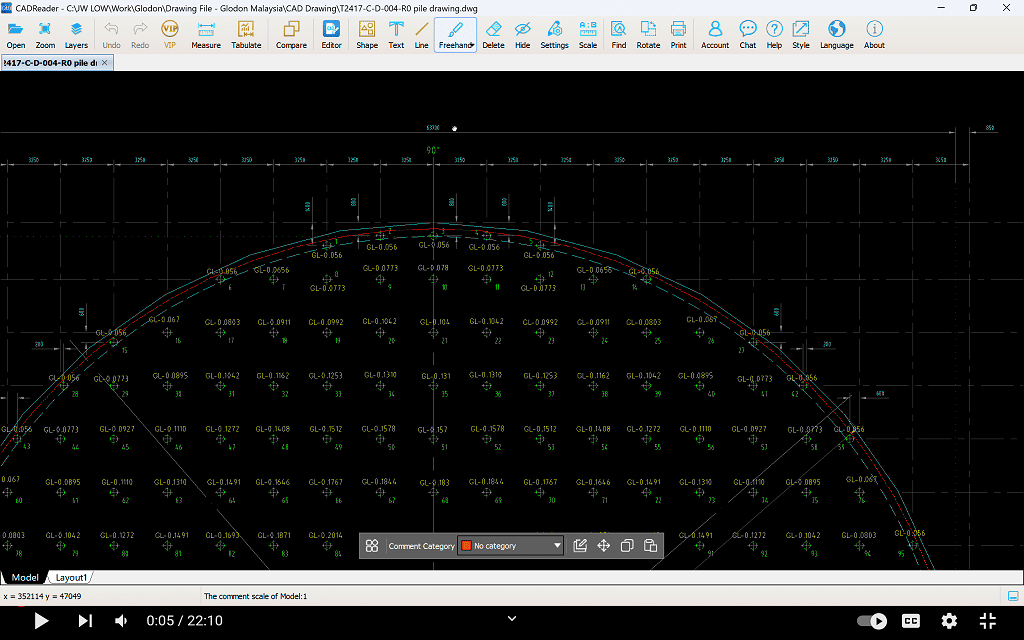
To streamline this process, the CAD Reader app provides an efficient solution. It automatically identifies pile symbols within the drawing and generates a complete list of coordinates and total pile count within seconds. The output is formatted for easy cross-referencing, enabling users to verify pile positions quickly and distribute accurate data to all parties involved.
Step-by step guide:
1) Scale the piling layout plan to match the units used in the survey drawing.
- If the survey drawing uses meter units, scale the piling layout plan accordingly.
- This can be done using CAD Reader or Autodesk AutoCAD.
2) Overlay the scaled piling layout plan onto the survey plot plan.
- Use the coordinate reference points provided by the designer to align the drawings accurately.
- This can be done using CAD Reader or Autodesk AutoCAD.
3) Open the completed drawing in CAD Reader.
4) Click on the ‘Shape’ function in the toolbar.
5) From the drop-down menu, select ‘Identify Target Shape’.
6) Draw a selection box around the shape you want to count using your cursor.
7) Right-click to confirm the selection.
8) Assign a name to the identified shape for easy reference.
- If the selection includes redundant lines or points, reselect the shape carefully to ensure it is clean and accurate.
9) Choose the search region:
- By default, the shape will be counted across the entire drawing.
- To count shapes in a specific area, click ‘Select Area’ and draw a box around the desired region.
10) A pop-up window will display:
- The total number of identified shapes
- Their coordinates in the selected area
11) Click on any result in the list to automatically highlight its location in the drawing.
Important note: Please ensure that the structure from which you intend to extract coordinates is accurately overlaid onto the approved survey drawing to obtain the correct coordinates.
Animated Demonstration: